Local Walks


Big Walks

All our walks have been logged onto OS Maps. For best results, download the app onto your phone and use the map to follow the route. In our stables we have a handy walking guide for guests to use, you can download the guide here.

  • A digital map showing a route marked in blue, starting at West Overton and ending near Fyfield, with towns and landmarks such as Avebury Down, Fyfield Down, The Belt, and Manton Down.

    Devils Den & the Ridgeway

    Taking in the impressive fields of Greyweathers sarsons stones and the Devil’s Den burial chamber before enjoying far reaching views along the Ridgeway.

  • Map showing a route around Avebury and nearby areas, including roads, fields, and landmarks.

    Cherhill Monument (after midday)

    From the farm, walking up along the gallops to the Cherill monument with beautiful views of the surrounding countryside.

  • Map showing a hiking route around Milk Hill and Walkers Hill, with elevations marked at 250m and 260m. The route is highlighted in blue, with markers indicating start and finish points near New Town.

    Milk Hill/White Horse


    A walk up to the highest point in Wiltshire and past one of the famous white horse’s around to the Wandsdyke.

  • Map displaying a route around Avebury, including landmarks such as Yatesbury, Snake's Lane Plantation, and Avebury Trusloe, with roads labeled A361 and A4.

    Windmill Hill

    A walk from the farm taking in Windmill Hill and Avebury before returning home.

  • Map showing a route around Avebury and West Kennett in England with icons indicating start and finish points.

    West Kennet/Santuary

    From the farm through the Sanctuary stone circle and back via Silbury Hill.

  • Map showing a hiking or walking trail with a loop, marked with a start/finish icon and a checkpoint icon, passing through forested areas and near Robin Hood Plantation and The Plantation.

    Roundway Hill

    A shorter walk with beautiful views towards Devizes and beyond.


Little Legs Walks

  • Map showing a hiking trail with a blue route leading to Walkers Hill at 260 meters elevation, near other trails and contour lines indicating terrain elevation, with icons for location and race finish point at the top.

    Milk Hill

    Park in Pewsey Downs car park and head on the well trodden paths to the top.

  • Map showing a route crossing A4 road near Silbury Hill, with a starting point and a finish line marked by icons, and roads including Gunsite Road nearby.

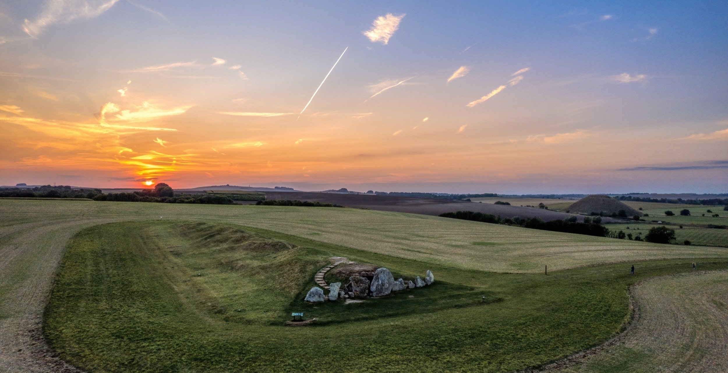
    Long Barrow

    Park in the layby, walk through our cow field to the Long Barrow at the top.

  • Gallops

    Park up in the layby after midday and walk as far as the legs will take you!

  • A map showing a route in and around Beckhampton, with roads A4 and A361 marked. The route starts near Beckhampton, loops southward, then returns north to the starting point, with icons indicating a starting point, navigation, and a finish line.

    Farm Track

    Walk up the track from the Stables taking in views of Silbury Hill & beyond.


Helpful Articles

The Guardian - 20 Free Days Out in Britain

 Roxtons - Mini Guide to Hungerford